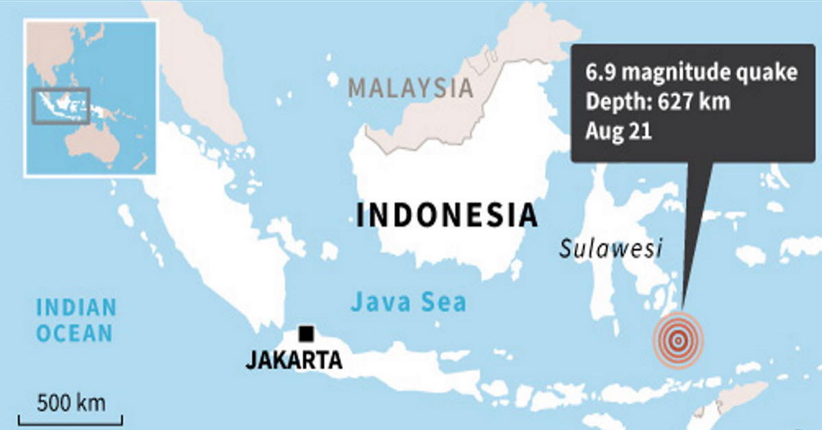
A 6.9-magnitude quake struck eastern Indonesia on Friday, the United States Geological Survey (USGS) reported, but there was no tsunami warning issued and no immediate reports of casualties or major damage.
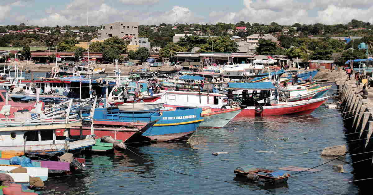
In Kupang city, far south of the quake's epicentre in the Banda Sea, frightened residents ran outside as buildings and streetlights swayed.
"I was in the shopping centre when the quake hit," said resident Engky Nussi.
"Many people ran outside as stuff started falling off the shelves and we were afraid something worse might happen."
Casualties And Damage
The undersea tremor struck at a depth of more than 600 kilometres (375 miles) about 220 kilometres south of Katabu on the island of Sulawesi, the USGS said.
Deep quakes tend to cause less damage than shallow ones and the USGS said there was a low likelihood of casualties and damage.
"We have not received any reports of damage so far", Indonesia's Meteorology, Climatology, and Geophysical Agency said of the quake.
Ring Of Fire
The Southeast Asian archipelago experiences frequent seismic and volcanic activity due to its position on the Pacific "Ring of Fire", where tectonic plates collide.
In 2018, a 7.5-magnitude quake and subsequent tsunami on Sulawesi left more than 4,300 people dead or missing.
A devastating 9.1-magnitude quake struck off the coast of Sumatra in 2004, triggering a tsunami that killed 220,000 throughout the region, including around 170,000 in Indonesia. - AFP