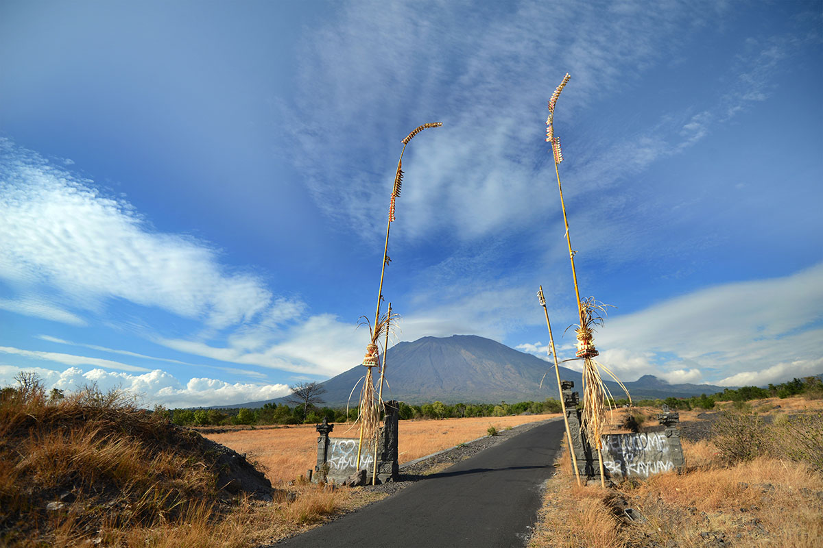
The last time Bali's Mount Agung volcano erupted, a stream of molten lava flattened teenage Gusti Nyoman Dauh's home, while cascading ash, rocks and hot gas killed 1,600 of his neighbours.
So more than fifty years later, when the Indonesian volcano began rumbling once again, the now-grandfather did not hesitate before gathering his family and fleeing to a crowded, makeshift shelter.
Sleeping on donated mattresses and making do with whatever clothes and possessions they could salvage, Dauh – now 72 – recalls the last time he had to run for his life.
"It was around 11:30am, we immediately ran, we had nothing with us except the clothes we were wearing," Dauh told AFP.
"I was afraid and panicked. Our house was flattened by the eruption. It was scary."
He and his family have been at the centre so far for seven days. In 1963, as a number of elderly evacuees recall, the mountain continued to erupt for a year.
In that year, pyroclastic flows – a fast moving mix of gas and volcanic material – spread 13 kilometres from the crater.
"At night everything was shaking because of the earthquake, I evacuated on foot through dusty roads," said Nengah Bunter, 70, at another evacuation centre.
"Mount Agung had been erupting for three months when the government evacuated us. The lava and rocks had already been flowing near my house."
I Nyoman Lanus Kecil, 75, added: "It started raining ash so I ran away. I heard there was a ship leaving for another island, but when I arrived there was nothing."
Early evacuation
Officials hope improved technology and early warnings this time mean a disaster on the scale of 1963 will be averted.
They announced the highest possible alert level last Friday due to the increasing volcanic activity, and told people to stay at least nine kilometres away from the crater.
"During the 1963 Mount Agung eruption, obviously the technology was not as good as what we have now, there were no volcanologists urging people to evacuate, that's why the number of victims was high," said Surono, one of the country's leading volcanologists, who like many Indonesians goes by one name.
More than 120,000 people have now fled Mount Agung in fear of a possible eruption, packing into temporary shelters or moving in with relatives.
Around 10,000 animals have also been evacuated from the flanks of the volcano, about 75 kilometres (47 miles) from the tourist hub of Kuta.
This week Indonesia's national disaster agency has sent face masks, mattresses, blankets and and tents for evacuees, who have also been provided with food.
Five mobile sirens have been installed in the danger zone to warn residents in the event of an eruption.
High activity
Indonesia is the world's most active volcanic region with 127 active volcanoes.
The Southeast Asian archipelago lies on the Pacific "Ring of Fire" where tectonic plates collide, causing frequent seismic and volcanic activity.
A volcano in Vanuatu – a Pacific archipelago that also sits on the seismic arc – this week forced 7,000 people to flee after it rained rocks and ash on villages.
The Indonesian Center for Volcanology and Geological Hazard Mitigation said activity of Mount Agung remained high on Thursday, recording 125 volcanic earthquakes between 12am and 6am.
"If we look at the magnitude, it continues to increase, yesterday we also felt several quakes with the magnitude of three on the Richter scale," said Kasbani, head volcanologist at the centre who goes by one name.
Bali attracts millions of holidaymakers yearly to its palm-fringed beaches and an eruption would be a blow to its tourism-dependent economy.
The airport in Bali's capital Denpasar has so far not been affected, but several countries including Australia and the United Kingdom have issued advisories warning travellers to exercise caution.
In case of an eruption, Indonesia plans to divert flights headed for Bali to ten other airports, including on nearby Lombok and the capital Jakarta. – AFP
